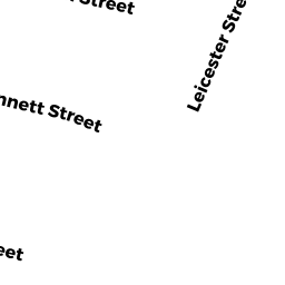
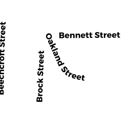
79 Bennett ST
Owner Information
MONAHAN WILLIAM P
7 BENNETT ST
BRIGHTON, MA 02135


Property Details
79 Bennett ST is classified as a Apartments with Four to Eight Units (Apt 4-6 units).
The primary structure on this property was built in 1920. There are 10,032ft2 of built area within this property. There is 7,524ft2 of residential/living space within this property.
79 Bennett ST is valued at $1,607,200. The land is valued at $491,900 and the structures are valued at $1,115,300.
The most recent deed for 79 Bennett ST is recorded at the local registrar in Book 22661, Page 142. 79 Bennett ST was last sold on Thursday, July 9, 1998 for $9.
Assessment data from fiscal year 2020.
Flood Data
According to the FEMA National Flood Hazard Layer, this property does not appear to be in a flood zone. It may also be in an area not yet reviewed. Nonetheless, confirm this information prior to taking any action.
To view the flood hazards around this property, create a FEMA "Firmette" Map of the area around 79 Bennett ST.
Broadband Internet Providers
| Provider | Type | Bandwidth (mbps) | |
|---|---|---|---|
| Starry, Inc. | Fixed Wireless | 200 | 200 |
| Crown Castle Fiber | Fiber | 0 | 0 |
| Verizon New England Inc. | DSL | 15 | 1 |
| RCN | Cable | 1000 | 20 |
| Verizon New England Inc. | Fiber | 940 | 880 |
| RCN | Cable | 500 | 20 |
| Comcast | Cable | 1000 | 35 |
| Viasat Inc | Satellite | 100 | 3 |
| VSAT Systems, LLC. | Satellite | 2 | 1 |
| HughesNet | Satellite | 25 | 3 |
| GCI Communication Corp. | Satellite | 0 | 0 |
Broadband service provider data from December 2020.
Adjacent Properties
- 11 Bennett ST
Two-Family Residential owned by ONOFRI JOSEPH A ETAL - 355359 Market ST
Two-Family Residential owned by MILLMAN STEVEN - 349 Market ST
Single Family Residential owned by CHAN KIN LUI - 68 DELAWARE PL
Apartments with Four to Eight Units owned by ZAYTMAN GREGORY TS - 353 Market ST
Two-Family Residential owned by CHAN SUSAN TS - 345 Market ST
Apartments with Four to Eight Units owned by KEEGAN JOSEPH A - 57 DELAWARE PL
Apartments with Four to Eight Units owned by ZAYTMAN GREGORY TS